Uncategorised3 min(s) read
Florida braced for most catastrophic storm ever as Hurricane Irma hits

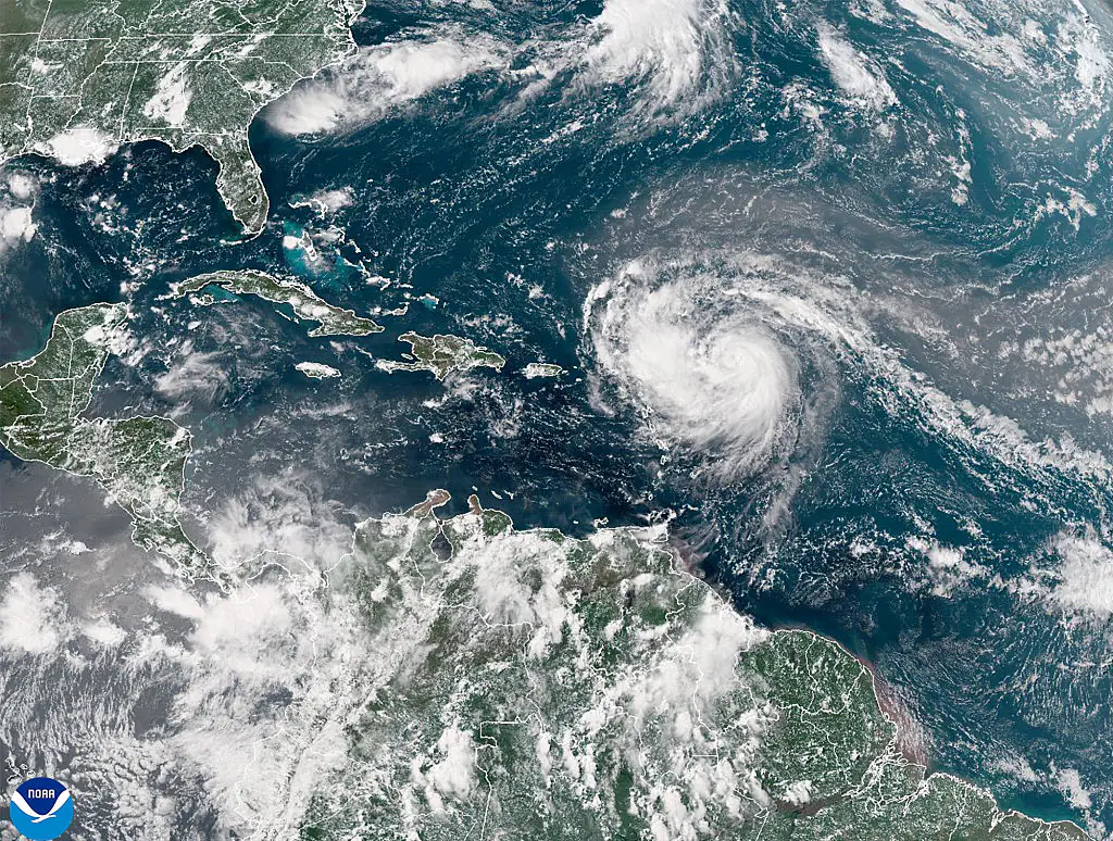
Hurricane Irma has begun to reach landfall in Florida as residents prepare themselves for the 130mph winds that are set to batter their way through the state in one of the worst storms to have ever hit the area. In the hours before the hurricane hit the Lower Florida Keys, it was upgraded to a category 4 storm and multiple warnings have been issued to residents in the area.
At 5:40am, the National Weather Service in Key West issued a stark and frightening warning to the city's residents, warning them that "extreme, hurricane-force winds are imminent in the Lower Florida Keys. If you are here, please go to interior room away from windows.
"Treat these imminent extreme winds as if a tornado was approaching and move immediately to the safe room in your shelter. Take action now to protect your life. You should already be taking cover."
Forecasters are predicting that winds of around 130mph will tear through southern Florida, and will move northwards at a speed of around 6-8mph.
Donald Trump has sent a message to those who are caught in the path of the destructive hurricane, asking them to take heed of the instructions that have been given out.
"This is a storm of enormous destructive power, and I ask everyone in the storm’s path to heed all instructions from government officials.
"The US Coast Guard, FEMA and all Federal and State brave people are ready. Here comes Irma. God bless everyone."
The outer bands of Irma hit Miami and other parts of southeast Florida on Saturday afternoon, with two tornadoes hitting Broward County after the National Weather Service issued a tornado watch.
There is also the threat of 15ft storm surges expected to hit the area, with residents being urged not to return to their houses. Governor Rick Scott implored those who were thinking of heading home after the winds began to settle not to do so, saying: "Fifteen feet is devastating and will cover your house.
"Do not think the storm is over when the wind slows down. The storm surge will rush in and it could kill you.'"
The National Weather Service has also warned that tornadoes are commonly spawned during a hurricane and could cause damage further away from the centre of the storm. They have also warned about storm surges, saying that they can cause more fatalities than any other hurricane hazard.
It's being reported that 6.3 million people have been told to evacuate in anticipation of Irma, and there are 70,000 people in shelters across Florida. An overnight curfew has been imposed by Miami police to stop looters from entering the coastal homes which have now been abandoned, however, the city has now been thrown a lifeline after the hurricane changed its route on Saturday.
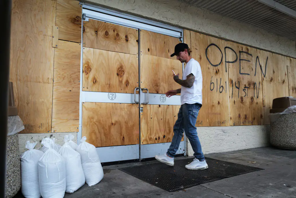
Despite several warnings, there are still plenty of people who have not evacuated their homes, and are instead bracing themselves for the storm. Governor Rick Scott had a bleak message for these people, saying "You will not survive the storm. If you are in an evacuation zone, leave."
The evacuation effort is the largest in US history, with millions of people in the Sunshine State and parts of Georgia being told to flee their homes before Irma strikes. All of the airports in the area have now been closed and anyone who is still there is being told to leave immediately, or seek refuge in one of the shelters that have been set up.
Irma poses a bigger threat to power supplies in Florida than Hurricane Harvey did in Texas because of the force of the winds that are packed inside of it. It's feared that the 200mph winds could tear down power lines, close nuclear power plants and destroy thousands of homes and businesses.
It's a truly frightening time to be a resident in these areas and our thoughts are with all of those who are facing the storm, we hope that you are all safe and sound.